Scarborough: They Called it Owascoag
Part 1 of 4 – Print Version Here (Pages 1-4)
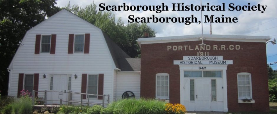
Text by Mary B. Pickard
Images from Scarborough Historical Society, Rodney Laughton, the Scarborough Marsh Nature Center and Broadturn Farm

Map of Scarborough with Marshland
Unlike many neighboring towns, Scarborough did not develop around a town center. Scarborough’s extensive salt marsh and rivers served as boundaries separating settlements that sprang up around their perimeters. Settlements didn’t begin to move inland from the rivers and seacoast until after roads were developed in the early 1800s. Even though incorporated as a town in 1658, residents still identified themselves as being from Dunstan, Oak Hill, Pine Point or other neighborhood until the 1990s. Rapid development started in the 1970s, as people from other areas were attracted to Scarborough’s abundant land and unique location.
Beginnings (pre-1631)
Long before European settlement, the Sokokis Indians lived in what we know as Scarborough. They called it Owascoag, “land of much grass,” because of the extensive salt marsh. Fish, shellfish, and wildlife of the marsh provided food, a medium of exchange and fertilizer for crops. Evidence of these earlier people can be found in a river of the marsh at low tide where there are exposed outlines of a fish weir used for trapping fish and in the shell heaps of Winnocks Neck.
European settlement along the Maine coast was an accidental by-product of the pursuit of fish. Early 1600s ships’ logs had accounts of fishing and fur trading along the coast. Fish, particularly cod, was abundant and a very profitable commodity in Europe. Dried on fish stages and salted, cod kept for many months and was easy to transport. Space for fish stages and wood to build them were needed and were plentiful along the Maine coast. Territory for fish stages was allotted on a first-come-first-served basis, and ships’ captains soon realized the advantages of having “caretakers” remain at the end of a fishing season to maintain ownership of desirable space.
The first known European settler in Scarborough was John Stratton, who prior to 1631 established a year-round fish stage and trading post on islands about three miles off shore. Stratton and his companions traded with Indians and the fishing fleets that visited the Maine coast. In the Cammock Patent of 1631, the islands were referred to as Stratton’s, or Stratton’s Plantation, and one of the islands still bears his name. Originally, the islands and the mainland were known as Stratton’s Plantation.
Settlement (1631-1674)
Captain Thomas Cammock was the first legal proprietor of land within the town. In 1631 the Council for New England granted Cammock the Patent of Black Point, 1500 acres from the Spurwink to the Black Point River, back one mile from the sea and including Stratton’s Islands. Cammock arrived in 1633 from Piscataqua, where he’d been the agent of Mason and Gorges. He claimed all rights to fishing and “fowling” and apportioned land to tenants from whom he collected fees and rents. The original Cammock house was built on the headland now known as Prouts Neck. Friend Henry Jocelyn joined Cammock and his wife, Margaret, in 1635 and another house was built above Ferry Rock at the mouth of the Black Point or Scarborough River.

Alger Deed
A second settlement was established across the river at Blue Point in 1636. A year before Cammock’s patent had been granted, the Council for New England granted Thomas Lewis and Captain Richard Bonython a four-mile-wide tract of land extending eastward from the mouth of the Saco River and eight miles inland. In return Lewis and Bonython agreed to transport fifty persons within seven years to settle on their land. Colonists Richard Foxwell and Henry Watts settled at Blue Point, assuming they were within the bounds of the Lewis and Bonython patent. When the bounds of the patent were surveyed, it was discovered that Foxwell and Watts had instead settled within what was then called Black Point.
In 1651 another settlement was established about three miles up river on a 1,000-acre tract of land owned by the Alger brothers. Andrew and Arthur Alger, part of Stratton’s group, had moved ashore and purchased the tract from the heirs of Wackwarreska, Sagamore of Owascoag. Tradition says the purchase price was a bushel of beans down and a bushel of corn yearly. One condition of the sale was that Wackwarreska’s daughter, Uphannum (known as Indian Jane or Jane Hannup), and her mother Nagasqua, be allowed to live on the land. The settlement was named Dunstan, a corruption of the name Dunster, the Algers’ home in England.

Massachusetts Bay Charter of Scarborough and Falmouth becoming a town in 1658
The question of title to the territory encompassing these settlements was confused because the Council for New England had granted several companies portions of the same territory from the Piscataqua to the Penobscot. After reviewing its charter, Massachusetts appealed to the English Chancery Court, claiming the territory rightfully belonged to her. Massachusetts then claimed the southern Maine settlements as her own; and after initial opposition, most settlements capitulated. Henry Jocelyn and other residents resisted for five years, but finally signed an Act of Submission in July 1658 and the town was incorporated as Scarborough. The town included lands formerly called Black Point, Blue Point and Stratton’s Island and extended eight miles inland from the sea. The settlements may have been legally united, but they remained as essentially separate entities. An old record book of Scarborough has no entry until 1669, eleven years after incorporation.

Pingback: Historical Overview – Part 2 | Scarborough Historical Society
Pingback: Historical Overview – Part 3 | Scarborough Historical Society
Pingback: Historical Overview – Part 4 | Scarborough Historical Society